
Grand Bassa County
Port of Buchanan
Liberia’s second-largest port and a strategic industrial and export gateway.
Port weather conditionsPort of Buchanan
Local time19:15:38GMT / Liberia
Temperature26.2°COvercast
Wind6.7 ktSSW · gusts 14 kt
Visibility21.5 kmModel estimate
Pressure1013 hPaMean sea level
Humidity81%Feels 29.6°C
Weather updated 19:00 GMTModel-derived conditions · not a navigational observationWeather data: Open-Meteo
Current ISPS security statusPort of Buchanan
Level 1Normal
Normal protective security measures are in force. Follow authorised NPA and port-facility instructions for operational access and security requirements.
Safety & security informationPublished port statistics
Jan-June Operational Performance
Latest approved operational indicators published for Port of Buchanan. Figures are historical reporting data, not live port movements.
Built in 1960 principally for iron-ore exports, Buchanan has two breakwaters measuring approximately 1,890 meters and 590 meters, a specialized ore-loading quay and a commercial quay. It supports mineral and agricultural exports and is connected to Liberia’s mining corridor.
Services
Services at Port of Buchanan

Marine Services
Pilotage, towage and harbor support for vessel arrivals and departures.
Explore service ↗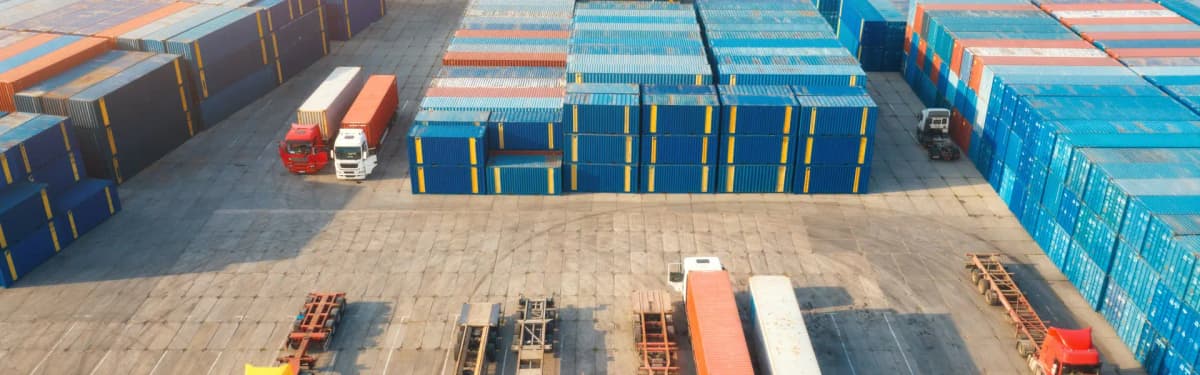
Cargo and Handling
Coordination and handling support for containerised, bulk, break-bulk and project cargo.
Explore service ↗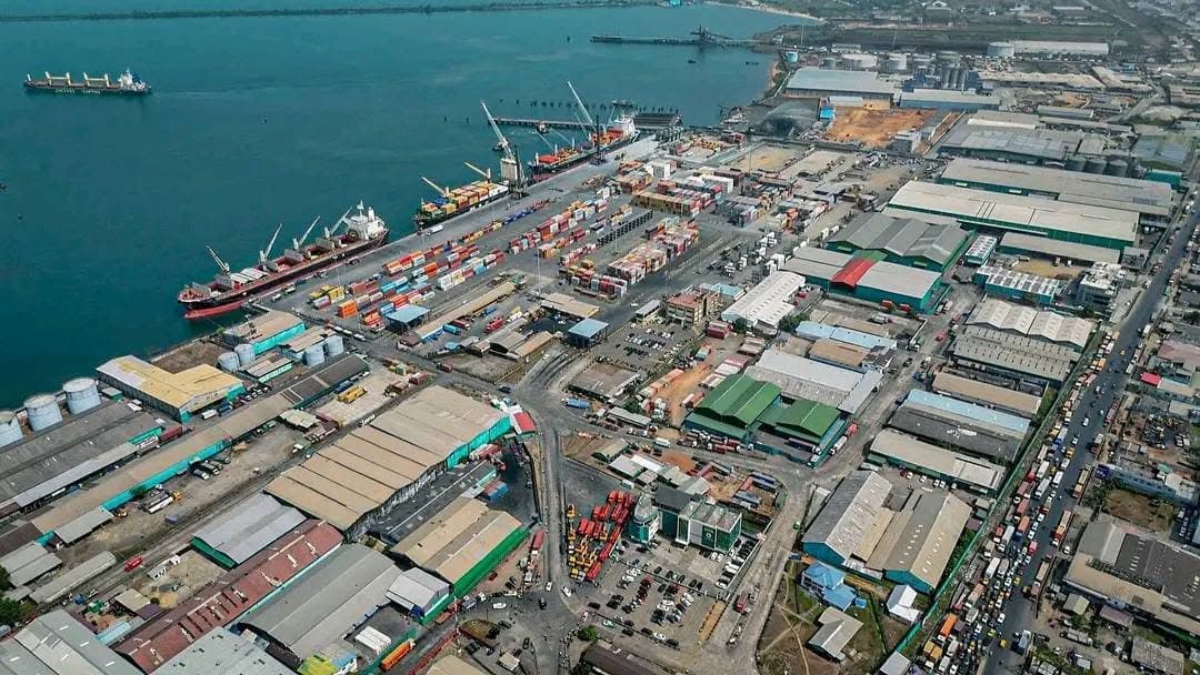
Warehouses and Property
Property leasing, warehousing and port-estate services supporting logistics, trade and investment.
Explore service ↗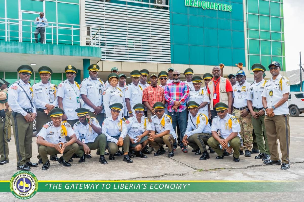
Safety and Security
Measures protecting people, vessels, cargo and critical port infrastructure.
Explore service ↗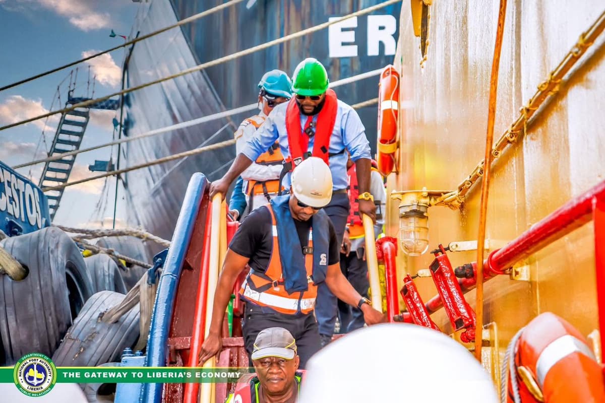
Shipping and Inspection
Operational checks and coordination supporting compliant cargo and vessel activity.
Explore service ↗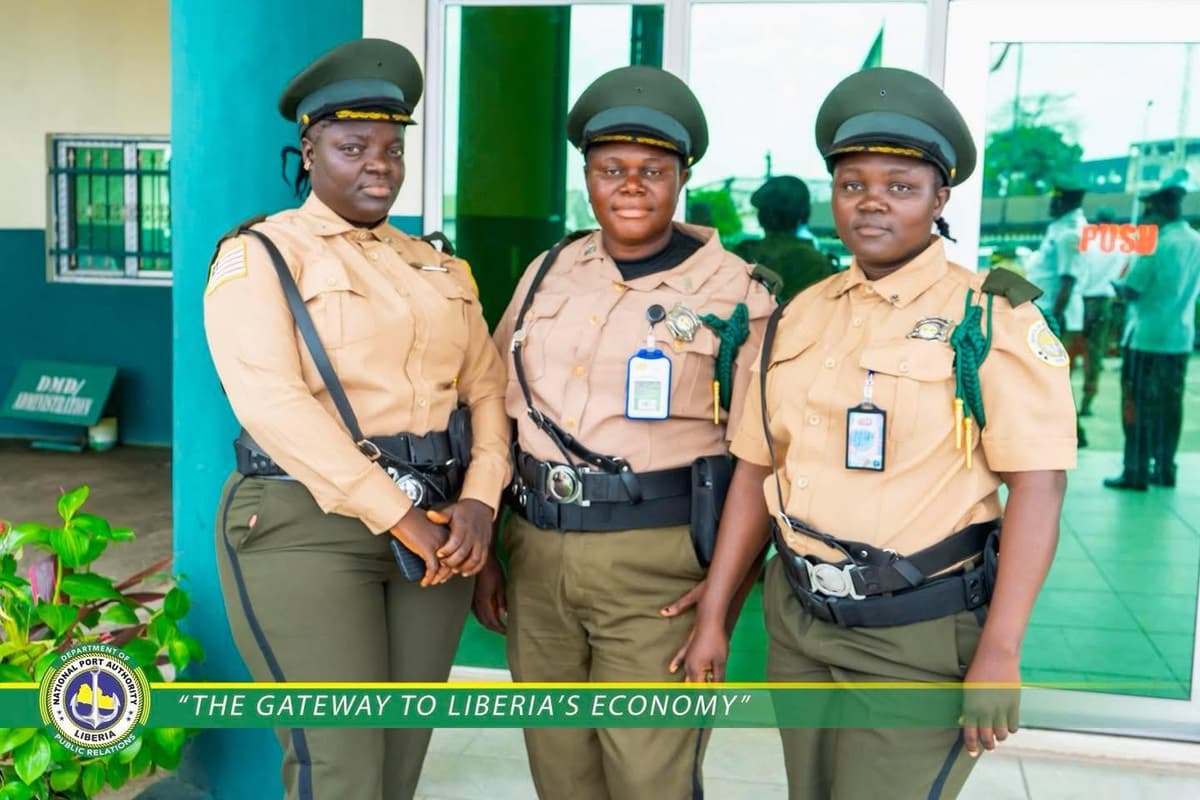
Customer Service
The first point of contact for client inquiries, complaints and service support.
Explore service ↗Development
Projects connected to this port
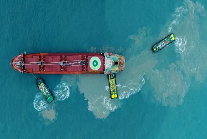
Port State Coordination Department
A coordination function for maritime oversight, environmental protection and hazardous-cargo monitoring.
View project ↗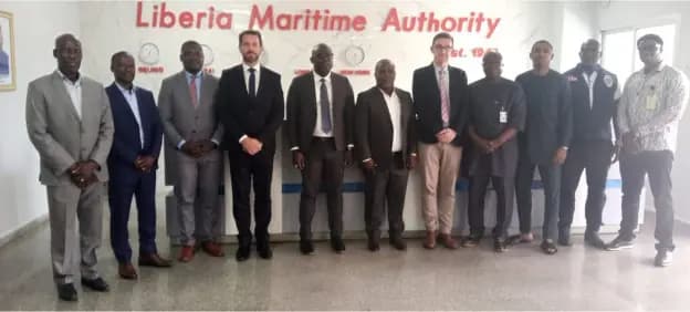
EU port safety and security cooperation initiative
Consultations explored Liberia’s inclusion in a European port safety and security initiative.
View project ↗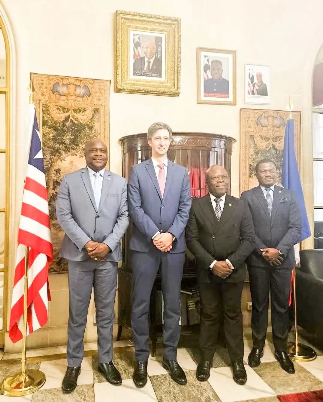
Proposed NPA–HAROPA PORT cooperation
Dialogue toward technical exchange, training and port-modernization cooperation.
View project ↗National port network
Four ports. One connected maritime system.
Explore Liberia’s ports from Monrovia to the southeast. Select a ship marker to view key port information and continue to the full port profile.
4 portsAtlantic coastNational Port Authority
Loading Liberia’s port network…